The Andes Safety Tips for Tourists
Argentina’s Andes demand different safety habits in different places. The high, dry roads around Salta and the Puna bring altitude into focus, while Andean parks in Patagonia can be shaped by snow, mud, closures, and short winter days. Treat every route, elevation, and season as its own trip rather than relying on one Andes-wide rule.
Five safety priorities before you go
- Build acclimatisation time into any itinerary above 2,500 metres.
- Check current weather, road conditions, trail status, and park rules immediately before departure.
- Confirm whether your exact hiking route requires registration and learn its total return time.
- Carry enough treated or packed water, food, and route-appropriate equipment for remote areas.
- Stay on authorized trails, obey ranger instructions, and give wildlife plenty of space.
A thoughtful plan leaves room for the conditions on the ground. Check the details for the specific park, road, trail, or excursion you will use, then adjust the day if weather, daylight, closures, or access rules change. That simple habit is more valuable than trying to force a tight itinerary through a mountain forecast.
Match the plan to the route, not to a generic Andes itinerary
Start by identifying the trip’s main exposure. A highland road trip, a day hike in a protected area, a multi-day trek, and a winter visit to Patagonia each call for a different decision. The aim is not to eliminate uncertainty. It is to give altitude, weather, daylight, communications, and route rules enough weight in the itinerary.
| Trip situation | Main safety concern | Practical planning choice |
|---|---|---|
| Puna or other northern highlands | Rapid ascent and altitude symptoms | Spend initial days at a lower base before moving higher. |
| Protected-area day hike | Weather, daylight, route difficulty, and registration | Check the exact route’s status, return time, equipment needs, and registration procedure. |
| Multi-day mountain route | Limited signal, water quality, and overnight logistics | Share the plan, arrange authorized overnight stops, and carry sufficient treated or packed water. |
| Winter in Andean Patagonia | Snow, mud, changing weather, and reduced daylight | Choose routes suited to winter skills and equipment, with confirmed openings. |
Acclimatise slowly in the northern highlands
For destinations above 2,500 metres, avoid a rapid ascent. Drink 2–3 litres of water a day, take the first two or three days gently, and avoid alcohol, smoking, and sedating medicines during the acclimatisation period. Altitude deserves the same respect as a changing weather forecast: slow down early rather than trying to recover after symptoms begin.
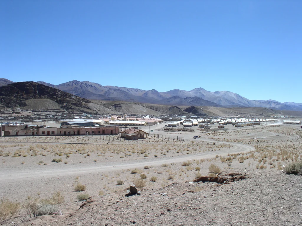
In northern Argentina, consider beginning with a few days in Salta city or Cafayate before continuing to the Puna or another higher area. It uses extra nights, but creates a slower ascent and a more comfortable rhythm for the rest of the trip. For detailed pacing advice, see Altitude in the Andes: A Plain-English Acclimatisation Guide.
Do not push through severe headache, dizziness, nausea, or other concerning altitude symptoms. Descend and seek medical advice promptly. A spectacular viewpoint is never worth turning a manageable problem into a serious one.
Set out on hikes with a route-specific plan
Before starting a hike, check the route’s difficulty, total return time, forecast, available daylight, required equipment, food and water needs, mobile coverage, and emergency contacts. Use the return time rather than the one-way distance to judge whether the walk fits the day. A route that looks short on a map can be a very different proposition in steep or unsettled terrain.
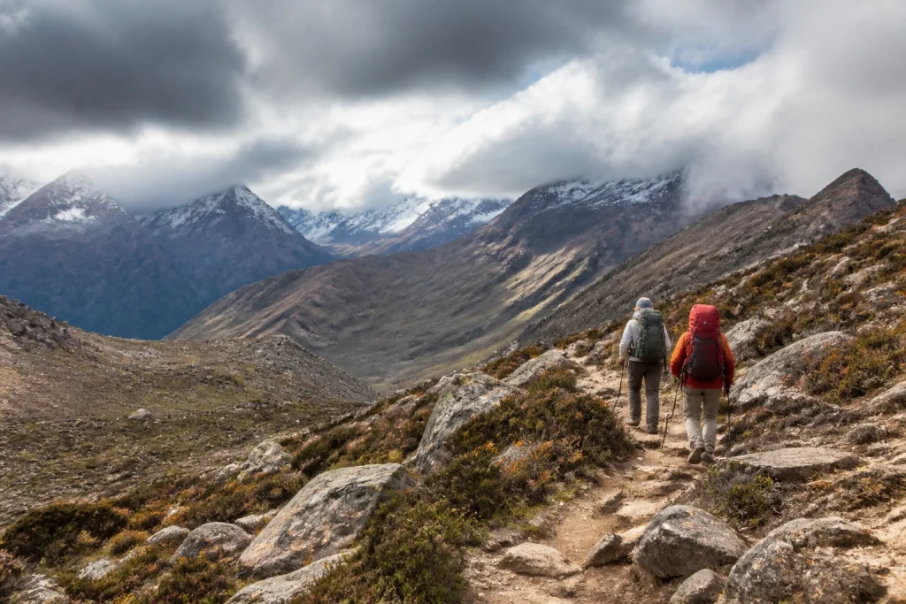
Registration rules are route-specific. National Parks guidance requires trekking registration, while broader park information notes that many trails use mandatory registration. Check the procedure, opening status, and any cutoff times for the exact park and trail you intend to walk. Do this before leaving your accommodation, not at the trailhead after a long drive.
Stay on authorized paths, skip shortcuts, and follow signs and ranger instructions. These rules protect both visitors and fragile mountain environments. Do not approach or feed wildlife, carry out all waste, and use fire only where it is explicitly permitted.
Treat water, mobile signal, and overnights as safety essentials
Remote scenery often comes with limited communications. Some mountain-road sectors have no mobile signal, so download or save the information you need before losing coverage and note emergency contacts in advance. Do not rely on streams or rivers for drinking water: natural water sources may not be potable. Carry enough packed or treated water for the route.
For multi-day routes, tell a reliable person where you are going and when you expect to return. Reserve or check in with refuges and camps where the route requires it, and camp only in authorized places. These steps make it easier for others to notice when a plan has changed.
Drive mountain roads as remote roads
A self-drive itinerary needs a final status check immediately before departure. Review official road, weather, trail, and park information; fuel up before entering a park; carry season-appropriate equipment; and account for route-specific entry and exit hours. A mountain drive can be the highlight of the day, but it should never be the part of the plan with the least preparation.
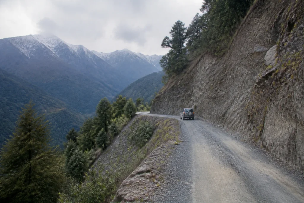
Drive cautiously on mountain roads and follow all posted instructions. Within national parks, guidance sets a 40 km/h limit; that figure should not be treated as a rule for roads outside park boundaries. Conditions, closures, and access arrangements vary by route, so use the local signs and current information as the final authority.
Let the season determine where and how you travel
Winter can work very differently across Argentina’s Andes. Around Salta, it is associated with little rain, clear skies, and generally more passable roads, though local operations still need checking. In Andean Patagonia, winter can mean snow, mud, adverse weather, more difficult trails, and less daylight. There is no single safest Andes season without naming the region and activity.
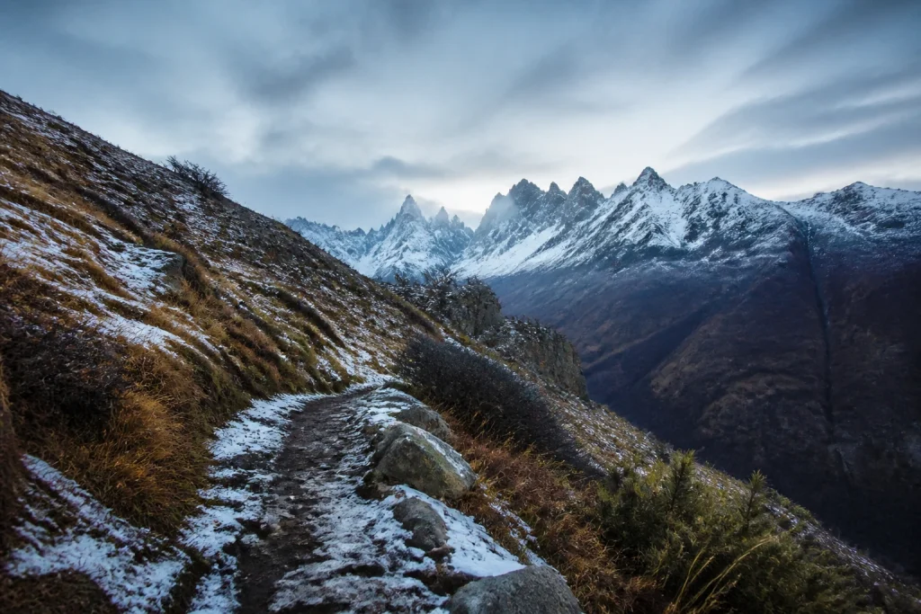
Plan Patagonian winter walks only if you have the relevant winter skills and equipment and the park confirms that the route is open. If those pieces are not in place, reshape the day around conditions that are. A shorter approved walk is a far better mountain day than an ambitious route undertaken without the right preparation.
Budget and accessibility need route-by-route checks
Avoid planning around a single Andes-wide budget. Costs for park entry, transport, lodging, guided activities, rental vehicles, and high-altitude excursions vary by place and provider. Confirm the current price and inclusions with the specific park, operator, or transport provider shortly before booking, especially when several parts of the itinerary depend on the same departure day.
Accessibility should not be assumed in mountain settings. Trail surfaces, transport, toilets, assistance policies, and step-free access can differ sharply between locations. Travelers who need specific accessibility arrangements should obtain written confirmation from each park, tour operator, hotel, or transport provider before booking.
Use country-level advice as background, not as a mountain forecast
The U.S. Department of State advisory issued July 10, 2026 rated Argentina Level 1, advising normal precautions. It also noted a CDC Level 1 Travelers’ Health Notice for Andes virus, or hantavirus, while describing the risk for most travelers as extremely low. This country-level picture does not replace a local check of park closures, route conditions, and mountain weather.
Run this final check before every mountain day
- Check the exact route, road, weather, and park status one more time.
- Confirm the route’s difficulty, full return time, daylight window, and required equipment.
- Register if the park or trail requires it, and respect any access or turnaround times.
- Fill the fuel tank before entering a park and carry enough food and treated or packed water.
- Save emergency contacts, check likely mobile coverage, and tell someone your route and return date.
- Change the plan when the conditions call for it. The mountains will still be there tomorrow.
The bottom line for a safer Andes trip
Argentina’s Andes suit travelers who plan with patience. Add acclimatisation time before heading high, make every hike and drive route-specific, and give winter conditions in Patagonia the respect they demand. The main limitation is variability: weather, access, and rules can change quickly. Check the current local details, then enjoy the desert horizons, mountain trails, and long roads with a plan built for the place you are actually visiting.
Frequently asked questions
Are the Argentine Andes safe for tourists?
Safety depends most on the specific route, altitude, weather, season, and preparation rather than on one rule for all of the Argentine Andes. Treat high-altitude northern itineraries, remote roads, protected-area hikes, and Patagonian winter trips as distinct plans with their own current checks.
How can I reduce altitude problems in the Andes?
Avoid a rapid ascent above 2,500 metres, drink 2–3 litres of water daily, take the first two or three days easily, and avoid alcohol, smoking, and sedating medicines. Starting with time in Salta city or Cafayate before continuing higher is a practical northern Argentina itinerary choice.
Do I need to register for hiking in Argentina’s national parks?
You should check registration for every exact park and trail, because requirements are route-specific. National Parks guidance requires trekking registration, while broader guidance indicates that many trails have mandatory registration.
Can I drink water from rivers and streams in the Andes?
Do not rely on stream or river water for drinking, as natural water may not be potable. Carry enough packed or treated water for the planned route, particularly in remote areas.
Is winter a good time to visit the Argentine Andes?
Winter can be a good choice around Salta, where conditions are typically drier with clearer skies and generally more passable roads. In Andean Patagonia, snow, mud, adverse weather, and shorter daylight make winter travel more demanding and require appropriate skills, equipment, and confirmed openings.
What should I check before driving in the Andes?
Check official road, weather, trail, and park status immediately before departing, fuel up before entering a park, carry season-appropriate equipment, and account for route-specific access hours. Drive cautiously and follow posted local rules.