South America Andes Road Trip Guide
The Andes run through several countries, so a single drive cannot realistically cover the whole range. This South America Andes road trip guide narrows the map to northwest Argentina: Salta, San Salvador de Jujuy, the Quebrada de Humahuaca, Purmamarca, Salinas Grandes, Susques, Route 40, and Los Cardones. The reward is a journey shaped by changing elevation, big distances, high Puna roads, and a deliberate pace rather than a dash between pins on a map.
Build the trip around northwest Argentina, not all of Route 40
- Use a seven-day framework if you want to combine the Quebrada de Humahuaca, the high Puna around Susques, and a separate Route 40 leg without rushing.
- Use Salta and San Salvador de Jujuy as practical urban anchors for reaching the Quebrada de Humahuaca on RN 9.
- Treat the Purmamarca-Susques section on RN 52 as a high-altitude extension, not a quick through-drive.
- RN 52 is paved toward Susques, while other Route 40 sections can be remote, high, and unpaved.
- Check Argentina’s official national-road status service immediately before departure and again whenever your route changes.
This approach keeps the trip ambitious but workable. It also leaves room for the reality of high elevation: Susques sits at 3,896 metres, where a flexible schedule, warm clothing, and an unhurried approach matter more than squeezing in one more road section.
Why this Andes route needs a focused plan
Route 40 is an Argentine legend, but it is not a casual one-road holiday. The corridor runs for more than 5,000 kilometres through 11 provinces. Northwest Argentina offers a more manageable slice of that scale, combining the RN 9 approach to the Quebrada de Humahuaca, the paved climb on RN 52, and selected Route 40 scenery and stops.
The key decision is what kind of drive you want. RN 52 gives a paved connection from Purmamarca through Salinas Grandes toward Susques. Route 40 asks more of the driver on certain stretches, where altitude, isolation, and gravel can become part of the day’s work. Treat those as distinct experiences when building the itinerary.
A flexible seven-day northwest Argentina road trip framework
Seven days creates a sensible rhythm for this route. It is not a promise of fixed driving times. Use it as a framework that gives the Puna an acclimatisation buffer and keeps the Route 40 portion separate enough to adjust for road conditions.

- Day 1: Start in Salta, collect supplies and confirm the current status of every national-route segment in your plan.
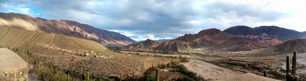
- Day 2: Follow RN 9 toward the Quebrada de Humahuaca. The gorge is reached on RN 9 and lies 165 km from Salta city.
- Day 3: Continue exploring the Quebrada area and position yourself for Purmamarca and the RN 52 extension.
- Day 4: Take paved RN 52 from Purmamarca via Salinas Grandes toward Susques.
- Day 5: Keep a full day or night at Susques for acclimatisation rather than treating 3,896 metres as a transit stop.
- Day 6: Return from the Puna on RN 52, using the day as a buffer if weather, road status, or altitude requires a slower pace.
- Day 7: Add a separate Route 40 and Los Cardones leg only when live road information and your remaining time support it.
Keep the order flexible. If a road-status alert changes the plan, or if anyone in the group feels the altitude strongly, take the buffer day instead of trying to recover lost ground. The route is far more enjoyable when the itinerary has room to bend.
| Route element | Road or location | Planning fact | How to use it |
|---|---|---|---|
| Quebrada approach | RN 9 | The Quebrada de Humahuaca is 165 km from Salta city and 42 km from San Salvador de Jujuy. | Use the cities as staging anchors, but do not turn these approach distances into a rushed driving-time promise. |
| Puna extension | RN 52 | RN 52 is paved and connects Purmamarca with Susques via Salinas Grandes. | Make this the clear paved high-altitude option in the route. |
| Acclimatisation stop | Susques | Susques stands at 3,896 m, and a stay of one to two days is recommended. | Build in time to slow down before adding further high-road plans. |
| Route 40 stop | Los Cardones | The park administration is near RN 40 at km 4510 in Payogasta. | Use it as a Route 40 planning marker and check current access details before setting out. |
Use RN 9 to approach the Quebrada de Humahuaca
RN 9 is the backbone for the Quebrada de Humahuaca approach. Salta city is 165 km from the gorge, while San Salvador de Jujuy is 42 km away. Those figures help explain why both cities work as urban anchors, but they are not a substitute for a driving schedule. Stops, weather, traffic, and changing plans all shape the actual day.
Build this lower section into the first half of the trip. It gives the group time to settle into the rhythm of northern Argentina before the route rises toward Purmamarca, Salinas Grandes, and Susques. A gradual sequence also makes the high-Andes section feel like a destination in its own right, rather than a checkbox between cities.
Make the Purmamarca to Susques extension an altitude priority
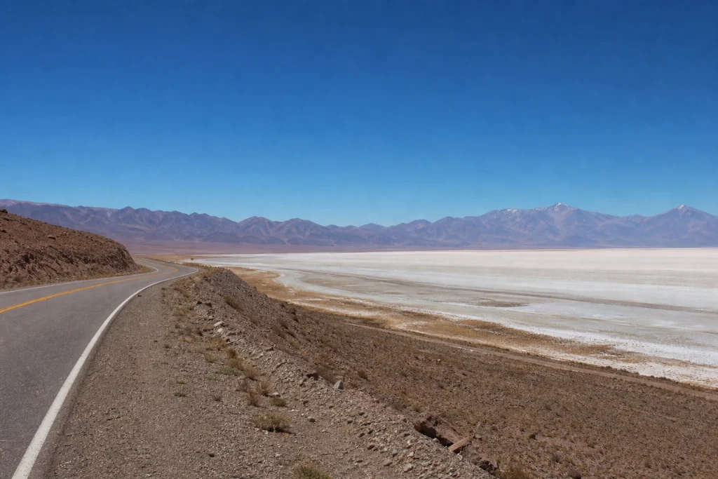
From Purmamarca, RN 52 runs through Salinas Grandes toward Susques and the Chilean frontier. It is described as paved and as the best connection to Susques, making it the clearest choice for travellers who want a highland extension without automatically committing to rougher Route 40 driving.
Susques deserves more than a fuel-and-go stop. At 3,896 metres, the body needs time to adapt. Official guidance recommends a one- to two-day stay, moving slowly, eating lightly, and dressing for large temperature swings and extreme cold. Keep arrival day simple and avoid stacking a demanding drive immediately afterward.
Altitude preparation is part of route planning, not an optional extra. For a fuller pre-departure briefing, use our Altitude in the Andes: A Plain-English Acclimatisation Guide, then apply its lessons by keeping the first Puna day modest and preserving an extra night in the plan.
- Pack insulating layers for Susques, including clothing suitable for sharp temperature changes and extreme cold.
- Plan the first high-altitude day around a slow pace rather than a long list of stops.
- Eat lightly and allow time to rest as you adjust to the elevation.
- Keep a spare day in the itinerary so altitude does not force a rushed return.
- Check road status again before setting off from any high-altitude overnight stop.
Choose the paved route or the remote Route 40 experience
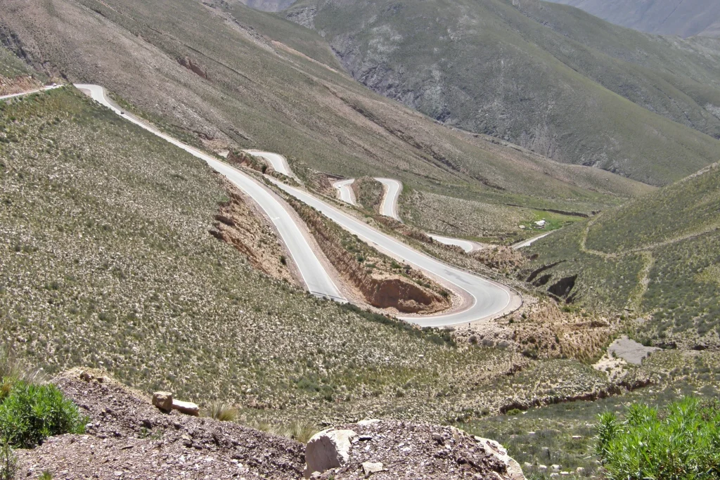
RN 52 and Route 40 should not be treated as interchangeable lines on a map. The Purmamarca-Susques approach on RN 52 is paved. By contrast, Route 40 includes high, remote, and unpaved sections. Abra del Acay rises above 4,800 metres, while the Quebrada de las Flechas section is gravel.
.JPG)
That does not automatically dictate a vehicle category. Instead, match the car to the exact route you intend to drive. Before committing to any gravel or remote section, check current road status and confirm the rental company’s permitted roads, insurance conditions, and assistance arrangements. A compact plan built around RN 9 and RN 52 has different demands from a Route 40-heavy itinerary.
- Ask the rental company which named road segments are permitted under your agreement.
- Confirm how insurance applies on unpaved roads and at high elevation.
- Check what spare-wheel, roadside-assistance, and recovery arrangements come with the vehicle.
- Review the car’s fuel policy and return requirements before leaving the city.
- Keep the final itinerary adjustable until you have reviewed the live national-road report.
Add Route 40 and Los Cardones as a separate Salta-side leg
A Route 40 detour adds a different texture to the trip, but it deserves its own day and a careful road check. This is the portion for travellers who want more remote road travel and accept that surface conditions can be part of the challenge. Do not let the romance of a famous route override the day’s live conditions.
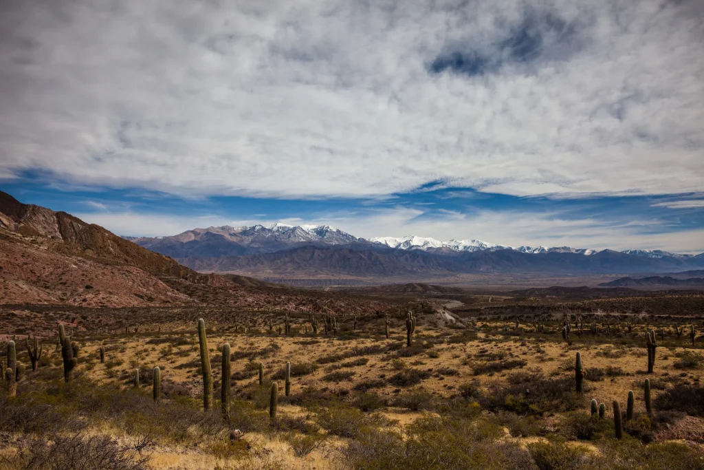
Los Cardones National Park is a useful Route 40 waypoint on the Salta side. Its administration is near RN 40 at kilometre 4510 in Payogasta. Use that location to shape the day, then confirm current park access and route conditions before you commit to a fixed arrival plan.
Park costs need a fresh check. The national-parks tariff schedule effective June 1, 2026 lists Los Cardones daily admission at $25,000 for the general category, $12,000 for the national category, $8,000 for provincial residents, and $10,000 for students. Fees can change, so verify the current tariff before travel.
Check live road conditions instead of relying on a seasonal rule
There is no useful one-line “best time” rule for this exact road trip. The high country around Susques brings large temperature changes and extreme cold, while road conditions can change the practical route at short notice. Build travel dates around flexibility, clothing, and current information rather than a generic calendar claim.
Consult Argentina’s National Road Directorate road-status service before travelling on RN 9, RN 40, or RN 52. Make this a departure-day habit, especially before high-altitude or unpaved detours. If the status changes, reroute, pause, or shorten the day rather than trying to force the original plan.
Budget by component, then keep a contingency
Avoid building this trip around a single all-in price. Rental vehicles, fuel, accommodation, and meals vary too much by travel date and booking choice for a useful flat estimate. Price those components for your own dates, then leave a contingency for an extra night, a route change, or a different vehicle choice.

The Los Cardones fee is a useful fixed example because it has a dated published tariff, but even that should be checked again. Treat park admission, rental terms, and overnight stops as separate planning lines. This produces a clearer budget than a broad figure that hides the parts most likely to change.
Treat the Chile border as an optional extension
RN 52 continues toward the Chilean border, but that connection should not be treated as an automatic international crossing plan. Before considering it, check the current border situation, road status, documentation rules, rental-car authorization, and insurance requirements with the relevant authorities and your rental company. Keep the Argentina itinerary complete without needing to cross.
Confirm accessibility stop by stop
Do not assume this is a step-free or fully accessible road trip. Confirm accessible parking, entrance surfaces, toilets, room layouts, and any required assistance directly with every accommodation, park, and activity provider before booking. This is especially important when the plan includes high-altitude areas, remote roads, or outdoor activities.
Drive the route with time on your side
The best version of this road trip is not the longest one. It is the version that gives the Quebrada its own day, treats the paved RN 52 climb as a real transition into the Puna, and leaves enough room to decide whether Route 40 belongs in the final plan. The landscape sets the pace here, and the itinerary should follow it.
- Save official road-status checks before departure and review them each day you change regions.
- Keep the first night or day at Susques free of demanding plans.
- Use RN 52 for the paved Purmamarca-Susques connection.
- Add Route 40 only after reviewing road conditions and rental restrictions.
- Keep the Chile border as an optional add-on, not a required finish line.
Is this South America Andes road trip right for you?
This route suits self-drivers who value changing landscapes and can travel patiently at altitude. Its great strength is variety: RN 9 and the Quebrada de Humahuaca, the paved highland approach on RN 52, Susques at nearly 3,900 metres, and the option of a more rugged Route 40 chapter. Its limit is clear too: conditions and elevation demand flexibility. Start with the seven-day framework, check the roads, and let the high Andes set a sensible pace.
Frequently asked questions
How long should a northwest Argentina Andes road trip take?
Allow about seven days for a balanced route that includes the Quebrada de Humahuaca, the Puna around Susques, and a separate Route 40 option. This leaves time for the one- to two-day acclimatisation stay recommended at Susques and for road-condition changes.
Can I drive from Purmamarca to Susques on a paved road?
Yes. RN 52 is paved from Purmamarca toward Susques via Salinas Grandes and is described as the best connection to Susques. Check live road status before departure, as conditions can change.
How high is Susques?
Susques is at 3,896 metres above sea level. Plan to move slowly, eat lightly, pack warm clothing, and stay for one to two days rather than treating it as a quick stop.
Do I need a 4WD for this route?
The route evidence does not set a universal vehicle requirement. RN 52 toward Susques is paved, while some Route 40 sections are high, remote, or gravel, so confirm permitted roads and insurance terms with your rental company before choosing the car.
Can this itinerary continue into Chile?
RN 52 continues toward the Chilean border, but a crossing needs separate planning. Check current border status, road conditions, documents, rental-car permission, and insurance immediately before travel.
What does Los Cardones National Park cost?
The tariff schedule effective June 1, 2026 lists general daily admission at $25,000, with lower listed categories for national visitors, provincial residents, and students. Recheck the current national-parks tariff before visiting because fees can change.