How to Get Around The Andes Without a Car
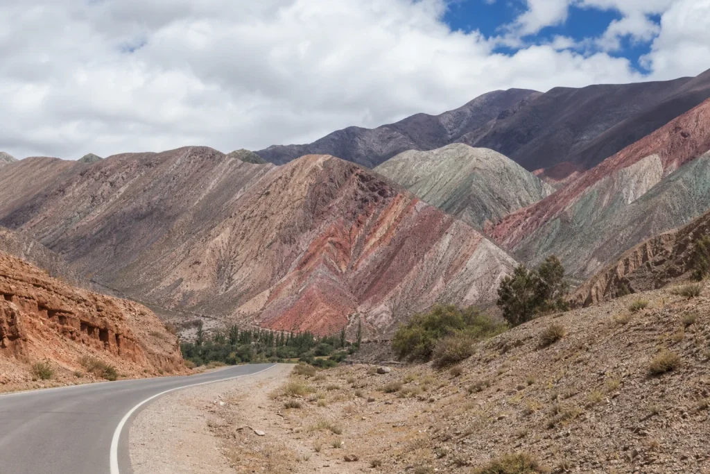
Traveling through Argentina’s Andes without a car is possible, but the route needs structure. The mountains stretch across widely separated northern, Cuyo, and Patagonian regions. There is no single local transport network linking them all. The most practical plan is to reach a regional hub by air or long-distance coach, use scheduled transport along established corridors, and reserve transfers or organized excursions for places beyond those corridors.
- Build each stage around a well-connected hub such as Salta, Mendoza City, or Bariloche.
- Use flights or long-distance coaches for the large gaps between Andean regions.
- Treat regional trains and public buses as corridor transport, not universal mountain access.
- Budget for transfers or organized excursions when a village, park, or attraction lacks scheduled service.
- Reconfirm schedules, operating days, flight service, and road conditions shortly before departure.
A successful car-free itinerary usually covers fewer regions and gives each one more time. Choose the landscapes that matter most, then group nearby stops around the same gateway. Our guide to the best places to visit in the Andes for first-time visitors can help narrow the choices before transport bookings begin.
Plan by region, not as one continuous route
Think of the Argentine Andes as several separate trips joined by long-distance transport. Salta works as a northern base, Mendoza City anchors the central-western Andes, and Bariloche provides useful connections in northern Patagonia. Within each region, scheduled services cover selected towns and corridors. Beyond them, the last leg often requires a transfer, taxi, or organized road excursion.
| Region | Useful hub | Supported transport pattern | Main planning gap |
|---|---|---|---|
| Northwest | Salta | Regional train plus interurban coach corridors | Remote villages and high-altitude attractions may require a transfer or tour |
| Cuyo | Mendoza City | Air arrival followed by locally arranged onward transport | Andean sights beyond city corridors need separate road transport |
| Northern Patagonia | Bariloche | Airport connection to the bus terminal, then long-distance bus | Confirm the final connection to parks, lodging, and trailheads |
This hub-and-spoke approach also creates a useful buffer. A delayed mountain excursion does not automatically disrupt a cross-country connection, and luggage can remain at a single base while you make day trips. When changing regions, allow enough time for a missed connection or a weather-related change rather than building an itinerary around tight transfers.
Choose flights or coaches for the long jumps
The distances between Argentina’s Andean gateways are substantial. Mendoza is listed as 1,227 kilometers by road from Salta and 1,345 kilometers from San Salvador de Jujuy. Those figures explain why a domestic flight can preserve valuable sightseeing time when an itinerary combines the north with Cuyo. Long-distance coaches remain an option for travelers who have more time, but current schedules and total journey details should be checked for the intended date.
Salta has air links with several Argentine cities, including Buenos Aires, Córdoba, Rosario, Mendoza, Neuquén, and Iguazú. Services and frequencies can change, so use the route list as a planning starting point rather than assuming a flight operates every day. A sensible sequence is to check the interregional leg first, then build local accommodation and excursions around it.
- Compare the available flight and coach options for your exact date.
- Count the journey to and from each airport or bus terminal as part of the travel day.
- Choose accommodation that reduces unnecessary terminal transfers.
- Leave a buffer before any fixed excursion, international flight, or onward departure.
Use Salta as the transport base for the northwest
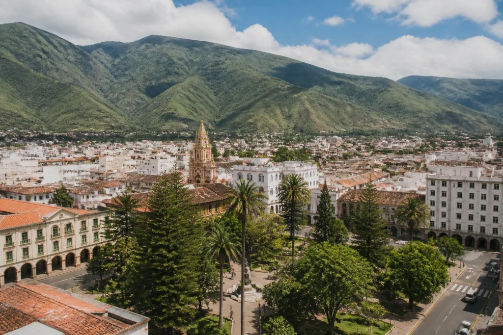
Salta Capital is a practical base for exploring the northwest without driving. It has a substantial accommodation supply and useful transport connections, including air links and a regional railway. Staying in the city also makes it easier to join booked sightseeing trips that would be awkward to reach independently. Build the northern portion around confirmed departure days rather than assigning a particular excursion to an arbitrary date.
The Salta regional train serves a specific corridor
The regional train links Güemes, Salta, and Campo Quijano, with an estimated end-to-end journey of 2 hours 52 minutes. It is useful only when those stops match the itinerary. Travelers must reserve before buying, and the official instructions direct passengers to enabled ticket offices, where payment is accepted in cash or with a SAETA card. Check current operating days before relying on the train for a connection.
Coaches follow the Quebrada and Puna corridor
The established northbound interurban corridor runs through General Güemes, San Salvador de Jujuy, Tumbaya, Tilcara, Humahuaca, Tres Cruces, Abra Pampa, and La Quiaca. This makes the Quebrada and Puna more approachable without a car than isolated areas away from the main road. The corridor listing does not establish today’s departures or frequencies, so confirm each segment before booking nonrefundable lodging.
Treat the Train to the Clouds as sightseeing
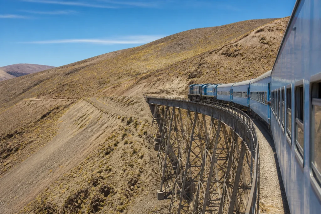
The Train to the Clouds is a combined road-and-rail experience rather than a simple point-to-point train. It reaches 4,220 meters in the Puna and works best as a reserved sightseeing day based from Salta. Do not plan it as the backbone of an independent journey between towns. Its elevation also deserves space in the itinerary, especially for travelers arriving directly from low altitude.
Make Mendoza City the anchor for the central Andes
Mendoza City is the natural organizing point for a car-free visit to Argentina’s central Andes. El Plumerillo International Airport is 11 kilometers from the city, so the first task is arranging the airport-to-accommodation leg. After that, keep the city as a stable base and book road transport for Andean destinations outside the urban network.
Avoid scattering accommodation across distant locations unless every transfer is confirmed. A single Mendoza base reduces luggage handling and makes it easier to compare shared excursions with private transfers. Before paying, check the pickup area, return point, luggage policy, cancellation terms, and whether the trip returns early enough for the next transport connection.
- Book the interregional arrival before choosing excursion dates.
- Choose a city base that suits the confirmed pickup or departure point.
- Use an organized road excursion when several distant stops are part of the same day.
- Reserve a private transfer only when a scheduled or shared option does not fit the route.
- Keep the final night in the city before an important flight or coach connection.
Connect Bariloche and Villa La Angostura by bus
Northern Patagonia offers one of the clearest documented airport-to-coach sequences. After landing at Bariloche airport, travelers can use a pre-booked transfer, a taxi, or local route 72 to reach the bus terminal. From there, long-distance buses, including services identified by National Parks, connect toward Villa La Angostura. Extensive bus service operates to and from both towns, although the current timetable still needs checking.
The important detail is that the airport and long-distance bus departure are separate stages. Do not treat a flight arrival and an onward coach as one guaranteed connection. Allow time to collect luggage, cross the city, find the correct departure point, and handle a schedule change. If the onward bus is essential, staying near the transport corridor can simplify the following morning.
A bus between major towns does not automatically solve access to every park entrance, trailhead, or remote lodging property. Check the precise final stop before choosing accommodation. If the property lies outside the town corridor, arrange its transfer separately rather than assuming the long-distance coach will make an unscheduled drop-off.
Solve the last mile before leaving the hub
The hardest part of a car-free Andean trip is often the short distance beyond a main road. Los Toldos provides a clear northern example. National Parks guidance states that there is no regular passenger service for roughly the final 18 kilometers between the road crossing and town. It advises traveling early to reduce the risk of waiting after dark. This is a local example, but it shows why the last leg must be planned separately.
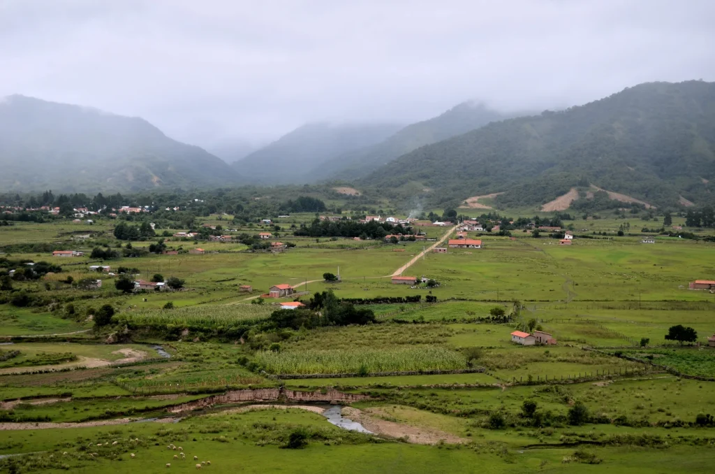

Resolve this gap while you still have reliable communications and several alternatives. A shared transfer or organized excursion can be efficient when it combines transport with the day’s main sights. A private transfer offers more control but usually adds cost. If neither is available, reconsider the stop rather than relying on an improvised roadside connection in an unfamiliar mountain area.
- Identify the exact arrival point, not just the name of the nearest town.
- Measure the remaining distance to the accommodation, attraction, or trailhead.
- Confirm whether the transfer is shared, private, or included with an excursion.
- Check the pickup window and expected return point.
- Carry the accommodation address and transfer details offline.
Book the trip in an order that protects key connections
Start with the least flexible segment. This is usually an interregional flight, a long coach journey, or a booked excursion that operates on selected days. Add accommodation next, followed by local buses, trains, and transfers. The Salta regional train is a good example of why sequence matters because a reservation is required before purchase.
- Choose the regional hubs and decide how many nights each deserves.
- Secure the major flight or long-distance coach between regions.
- Confirm any limited-day sightseeing train or mountain excursion.
- Reserve accommodation near practical arrival and pickup points.
- Add local rail, public bus, airport transport, and last-mile transfers.
- Recheck operating days, road status, and departure points shortly before travel.
Save confirmations, terminal names, and pickup instructions for offline access. Argentina’s distances make a wrong terminal or missed connection expensive in time even when the ticket itself is modest. Our broader Andes planning tips are useful for organizing buffers, packing, and multi-region travel without overcrowding the schedule.
Control costs by mixing scheduled and booked transport
There is no useful single daily transport budget for this journey. Costs depend on the chosen regions, travel dates, flight availability, transfer type, and number of excursions. Scheduled regional rail and public buses are generally the budget-oriented components. Flights, private transfers, and sightseeing excursions increase the total, but they can make a route possible without renting a car.
| Transport need | Budget-oriented approach | When spending more can help |
|---|---|---|
| Between distant regions | Compare long-distance coach and flight options for the same date | A flight can save substantial time between widely separated hubs |
| Within a main corridor | Use a scheduled regional train or public bus where it matches the route | A transfer helps when departures do not fit a fixed connection |
| Beyond the corridor | Join a shared excursion or shared transfer | A private transfer can solve a specific last-mile gap |
| Schedule protection | Leave a reasonable connection buffer | An extra night in a hub can protect an important onward departure |
Compare the complete cost rather than the headline fare. Include transport to the airport or terminal, a possible overnight stay, last-mile travel, and any luggage charges shown during booking. Price every major segment for the actual travel date, since a generic figure can become misleading quickly.
Prepare for altitude, weather, and schedule changes
High elevation can be part of the transport experience itself. The Train to the Clouds reaches 4,220 meters, so avoid placing it immediately after a demanding overnight journey if the schedule allows. Build a gentler first day and review a plain-English Andes acclimatisation guide before committing to a fast ascent.
Northern winter commonly brings dry weather and clear skies, but seasonal descriptions are not live road reports. Conditions can vary by region and elevation. Check road status and excursion operation near departure, especially for high-altitude routes. Do not generalize northern conditions to Mendoza or Patagonia, where the same journey date can produce a different transport picture.
Carry water, a warm layer, sun protection, essential medication, and a charged phone on long road days. Keep the next accommodation address and booking details available offline. If weather disrupts the plan, protect the confirmed interregional departure first and simplify a local day trip rather than creating a chain of tight replacement connections.
Check accessibility one operator at a time
Argentina has a national free-transport reservation process for people holding qualifying CUD or INCUCAI credentials. For long-distance bus requests made at a ticket office, the guidance calls for DNI and disability documentation at least 48 hours before travel. International visitors should not assume they qualify for this benefit without checking their eligibility.
The national process does not mean every station, coach, transfer vehicle, or excursion is step-free. Confirm the practical details directly with each operator, including boarding assistance, wheelchair storage, accessible toilets, seating needs, and the surface between the arrival point and accommodation. Check every stage of the airport-to-terminal-to-hotel chain rather than only the longest journey.
Three workable car-free itinerary patterns
A northwest journey based in Salta
Arrive in Salta and keep the first day flexible. Use the city as the base for a confirmed regional train journey, a coach trip along the Quebrada corridor, or a booked Train to the Clouds experience. Do not schedule all three until their current operating days are known. Add a night in another corridor town only when the arrival, departure, and accommodation access are clear.
A central Andes stay in Mendoza
Fly or take a long-distance coach to Mendoza, arrange the transfer into the city, and use one accommodation base. Reserve organized road transport for sights beyond the urban corridor, with at least one flexible city day between major travel legs. Return to Mendoza before the onward departure rather than attempting a same-day connection from a distant mountain stop.
A northern Patagonia route through Bariloche
Arrive at Bariloche airport, travel to the bus terminal, and continue to Villa La Angostura on a confirmed long-distance service. Stay within reach of the town transport corridor unless the lodging provides a transfer. Reverse the sequence with a generous buffer before the departing flight. If park or trail access is central to the trip, settle that final connection before booking the room.
A car-free Andes trip rewards focused planning
Argentina’s Andes can be explored without driving when the itinerary follows real transport corridors. Use Salta, Mendoza, or Bariloche as an anchor, make the long regional jumps by air or coach, and reserve extra transport for the final mountain leg. The main limitation is flexibility outside established routes. Choose fewer bases, confirm the fixed connections first, and let transfers or organized excursions handle the roads that scheduled services do not reach.
Frequently asked questions
Can you travel around the Argentine Andes without a car?
Yes. The practical method is to travel between regional hubs by flight or long-distance coach, use scheduled trains and buses along established corridors, and arrange transfers or excursions for remote final legs.
What is the best base for exploring the Andes without driving?
There is no single best base for the entire range. Salta suits the northwest, Mendoza City anchors the central Andes, and Bariloche provides useful bus connections in northern Patagonia.
Can the Train to the Clouds be used as regular transportation?
It is better treated as a booked sightseeing experience. The journey combines road and rail in the Puna, reaches 4,220 meters, and is not a simple point-to-point substitute for regular transport.
Where does the Salta regional train go?
The regional service connects Güemes, Salta, and Campo Quijano. Its estimated end-to-end journey is 2 hours 52 minutes, and travelers must reserve before purchasing at an enabled ticket office.
Do public buses reach every Andean village?
No. Public transport is strongest along principal corridors, while some remote final legs have no regular passenger service. Near Los Toldos, for example, roughly the final 18 kilometers into town lack a regular passenger connection.
How much should I budget for car-free transport in the Andes?
Build the budget route by route because current costs vary by date and transport type. Public buses and regional rail are generally the lower-cost components, while flights, transfers, and organized sightseeing trips add to the total.
How far ahead should accessible long-distance transport be arranged?
Travelers using Argentina’s qualifying disability-transport process at a ticket office should make long-distance bus requests at least 48 hours before travel. Eligibility and physical accessibility still need to be checked for each operator and vehicle.
More bookable experiences
Three tours to compare
Review current provider details before booking. Discover Andes may earn a commission at no extra cost to you.
Continue exploring
More practical guides selected from the Discover Andes library.
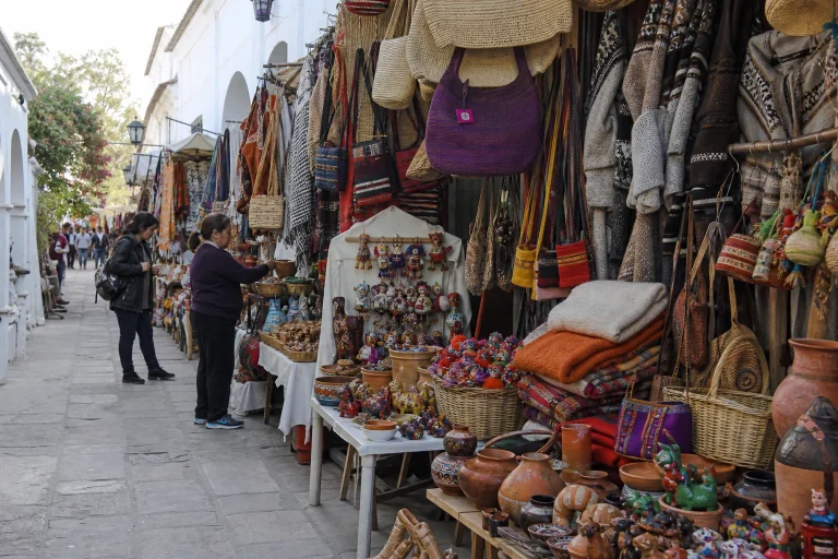
The Andes Souvenir Shopping Guide
Shop the Argentine Andes with confidence, using Salta as a base for regional textiles, ceramics, woodwork, basketry, gaucho…
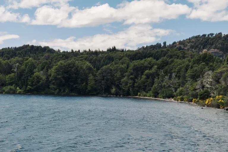
The Andes Summer Travel Guide
Plan an Argentine Andes summer trip with practical advice on choosing Mendoza, Bariloche, or the high-altitude northwest, plus…
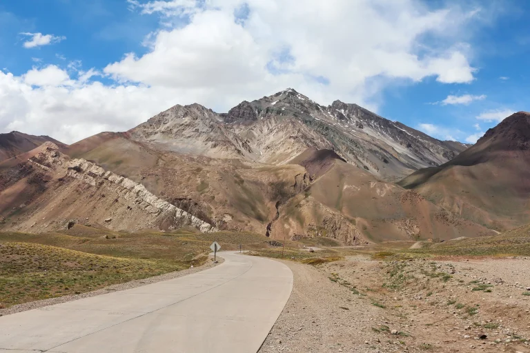
5 Days in The Andes Itinerary
Spend five focused days exploring Mendoza wine country, the RN 7 mountain corridor, Puente del Inca, Horcones, and…

Best Coffee Shops in The Andes
Plan an Andes-facing coffee break in Argentina with a central specialty café in Mendoza and a gluten-free-friendly option…