
Best Mountains in the Andes
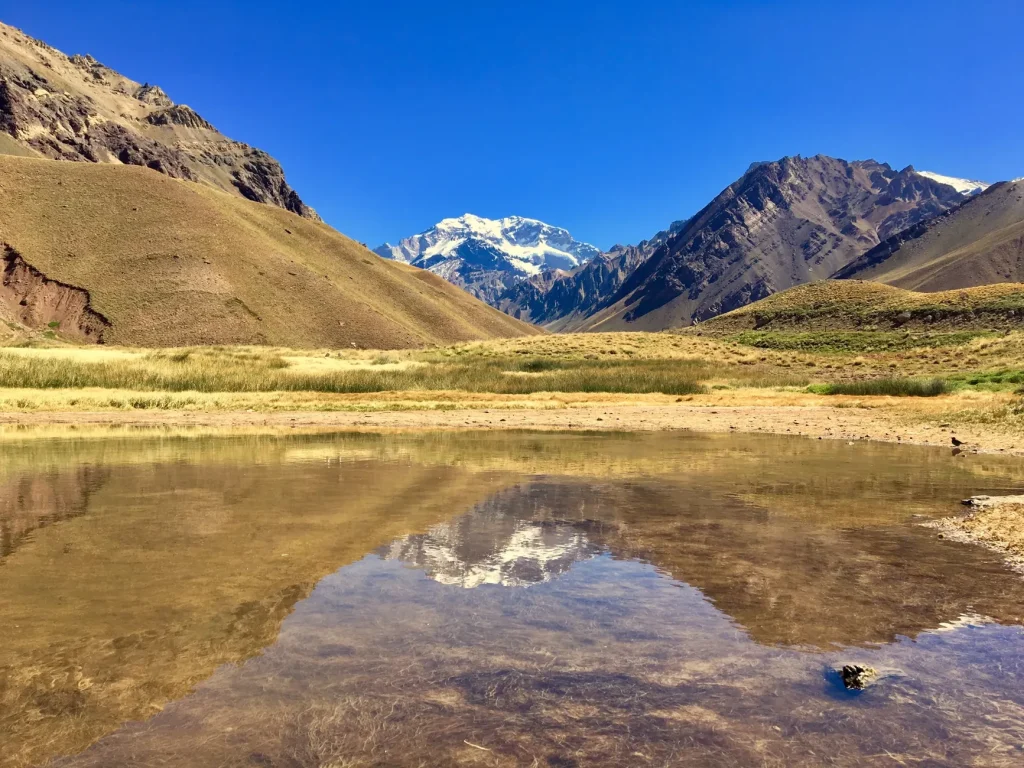
The best mountains in the Andes serve very different travelers. In Argentina, Aconcagua offers immense altitude, Fitz Roy and Cerro Torre anchor famous hiking country, Tronador combines glaciers with access from Bariloche, and Lanín presents a serious volcanic objective. Choosing well depends less on a universal ranking than on the experience you want, your preparation, and how much uncertainty you can handle in mountain weather.
- Choose Aconcagua for extreme elevation and an expedition-scale mountain objective.
- Base yourself in El Chaltén for day hikes with views of Fitz Roy and Cerro Torre.
- Pick Cerro Tronador for a mountain-and-glacier excursion linked to Bariloche.
- Consider Lanín for a demanding volcanic ascent in northern Patagonia.
- Check current permits, road conditions, trail status, and weather before setting out.
This selection focuses on four prominent mountain experiences in Argentina. It includes options for hikers who want landmark views without summiting, as well as objectives for experienced mountaineers. Altitude, cold, wind, snow, changing road conditions, and limited communications all influence the final choice.
How to choose the right Andean mountain
Start by deciding whether you want to see a mountain, hike beneath it, or attempt an ascent. These are distinct trips. El Chaltén has several trails for close views of granite peaks, while Aconcagua and Lanín demand a more serious approach from anyone considering a summit. Tronador occupies a useful middle ground, with mountain and glacier scenery accessible on an excursion from the Bariloche area.
Your tolerance for logistical complexity matters too. El Chaltén is reached by road from El Calafate and works well as a hiking base. Aconcagua Provincial Park lies along National Route 7 outside Mendoza. Tronador requires an unpaved-road approach after leaving the main highway, while access toward Lanín varies according to the chosen park sector and trailhead.
None of these mountains rewards a rigid plan. Trail conditions, snow, wind, rain, and road status can reshape a day quickly. Build spare time into an ambitious itinerary, especially when a particular viewpoint or ascent is the central reason for your trip.
The four mountains at a glance
| Mountain area | Best for | Main gateway or base | Key consideration |
|---|---|---|---|
| Aconcagua | Extreme altitude and expedition ambition | Mendoza and National Route 7 | A 6,962 m environment requiring serious preparation |
| Fitz Roy and Cerro Torre | Classic day hikes and granite views | El Chaltén via El Calafate | Check trail conditions before leaving town |
| Cerro Tronador | Glacier scenery on a Bariloche-based trip | Bariloche and Pampa Linda | Unpaved access and winter weather affect plans |
| Lanín Volcano | A demanding volcanic objective | Northern Patagonia access towns | Icy slopes, rapid weather changes, and no phone signal |
The table compares experiences rather than assigning a numerical rank. A traveler seeking flexible day hikes will evaluate these mountains differently from a climber focused on altitude. That distinction is essential when distances, weather exposure, and equipment requirements vary so widely.
Aconcagua for the highest-altitude objective
Aconcagua rises to 6,962 m in Mendoza’s Aconcagua Provincial Park, within the highest sector of the Andes in the Americas. Its scale makes it the defining choice for travelers drawn to altitude and expedition ambition. It is not a casual summit or an objective to add impulsively to a Mendoza sightseeing trip.

The park is reached on National Route 7, about 185 km from Mendoza city. This makes Mendoza the logical urban gateway, but proximity to a major city should not be confused with an easy mountain environment. The official trip guidance allows roughly two to five days for a park visit, with longer commitments needed for particular expeditions.
Who should choose Aconcagua
Choose Aconcagua if elevation itself is central to the trip and you are prepared to organize around acclimatisation, equipment, permits, and weather. The mountain is more suitable for experienced and properly supported travelers than for visitors looking for a simple high-altitude walk. Technical mountaineering equipment is recommended for the serious mountain experience described by Argentina’s tourism authority.
November through March is the recommended weather window for visiting, although current access and expedition arrangements still need to be checked. Permit processes, fees, and route rules can change, so use current park information when building the final plan rather than relying on an older itinerary.
Before committing to this altitude, consult an Altitude in the Andes plain-English acclimatisation guide and leave room for a gradual approach. Fitness does not remove the effects of elevation, and a rushed schedule is a poor match for a mountain of this scale.
Fitz Roy and Cerro Torre for classic Patagonia hiking
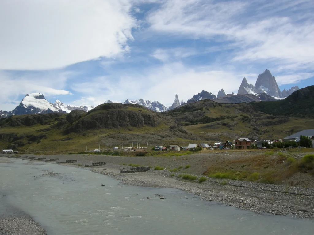
Fitz Roy and Cerro Torre are the strongest choices here for travelers who want celebrated mountain views without committing to a summit attempt. El Chaltén provides access to a network of hikes through the surrounding landscape, making it possible to organize several different mountain days from one base.
Named routes include Laguna de los Tres, Laguna Torre, Loma del Pliegue Tumbado, and Río Eléctrico. Together, they offer a range of perspectives rather than a single viewpoint. The appeal lies in watching granite forms emerge above valleys and lakes, then choosing another trail when weather or energy changes the plan.
Why El Chaltén works as a hiking base
El Chaltén suits hikers who value variety. A visitor can focus on one major trail, combine shorter outings, or use authorized campsites on a longer itinerary. That flexibility is valuable in a region where cloud, wind, and trail conditions can determine which objective makes sense on a given morning.
The nearest airport is at El Calafate, and El Chaltén is reached by road about 210 km away. Check transport arrangements before arrival, particularly if the first hiking day depends on a same-day connection. Once in town, visit the Los Glaciares National Park visitor center or municipal tourism office for maps and current trail information.
This mountain area is the easiest recommendation for travelers whose priority is hiking scenery rather than reaching a summit. Its main limitation is that famous silhouettes do not guarantee clear views. A flexible stay gives you more chances to adapt when conditions obscure the peaks or affect a preferred trail.
Cerro Tronador for glaciers and a Bariloche base
Cerro Tronador, listed at 3,491 m, is an excellent match for travelers already exploring the Bariloche and Nahuel Huapi area. Its combination of mountain scenery, forested approaches, and glacier viewpoints creates a different experience from the stark altitude of Aconcagua or the granite skyline around El Chaltén.
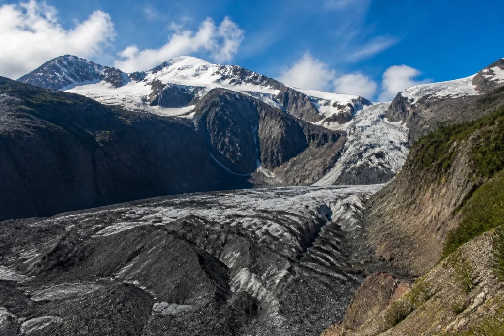
The official route begins about 40 km south of Bariloche on National Route 40, then follows an unpaved road toward the mountain. Pampa Linda is a key place name on the approach, while the Ventisquero Negro glacier viewpoint is one of the highlighted sights. Road conditions deserve as much attention as the forecast.
How much time to allow for Tronador
A stay of one to four days is suggested, giving travelers room to choose between an outing and a deeper mountain visit. The right duration depends on road access, intended trails, weather, and how much of the wider Bariloche region you want to include.
Conditions are cold and humid, with heavy rain and snow in winter. Check the road and trail situation before departure, especially outside the most straightforward weather periods. An unpaved mountain approach can alter transport plans even when conditions in Bariloche appear manageable.
Tronador is the practical choice for travelers who want a strong mountain outing without reorganizing an entire Argentina trip around a major expedition. The tradeoff is less control over access when winter weather or road conditions intervene.
Lanín for a serious volcanic ascent
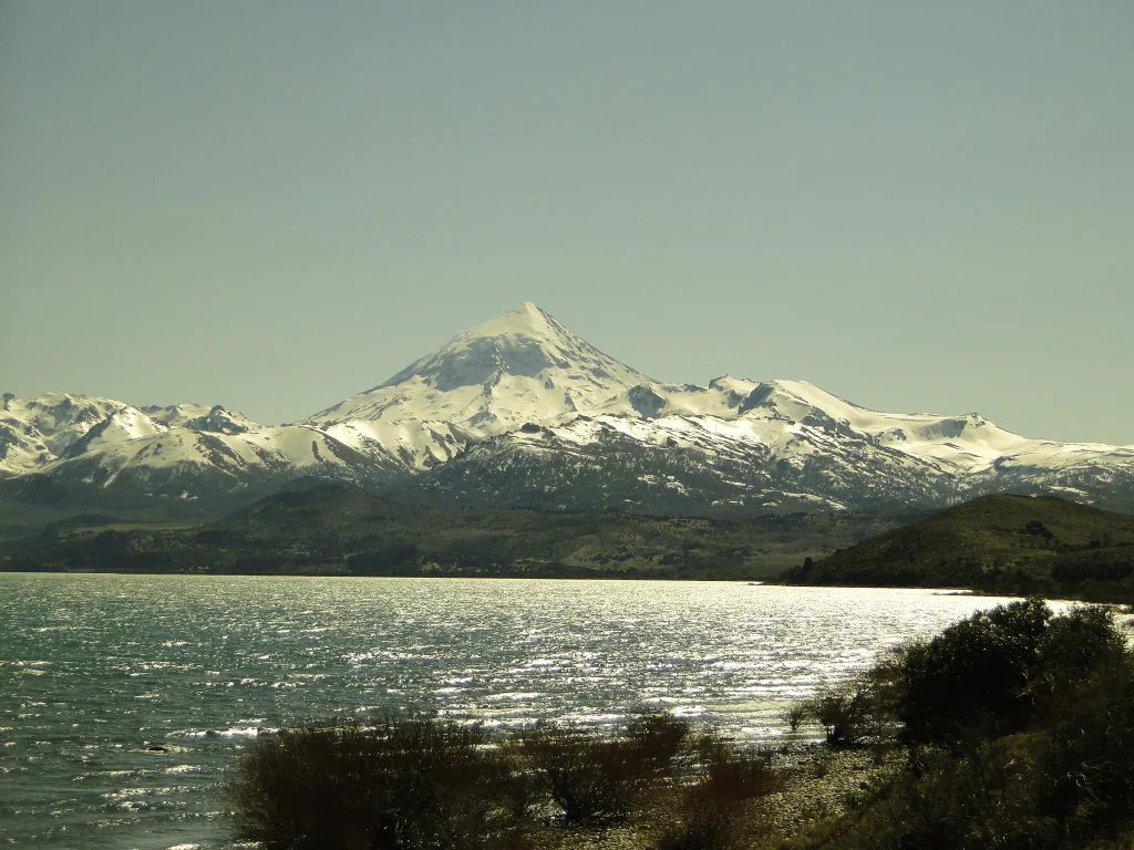
Lanín Volcano reaches 3,747 m in Neuquén and stands apart through its volcanic form and northern Patagonian setting. It is best suited to experienced hikers and mountain travelers seeking a demanding objective amid the lakes, forests, and Araucaria country associated with Lanín National Park.
Icy slopes, very low temperatures, and fast-changing weather shape the experience. Official guidance suggests one to three days and clothing suitable for extreme cold. Those details should discourage any assumption that the volcano is a routine walk simply because its elevation is lower than Aconcagua’s.
Choose the access route before planning transport
Lanín cannot be reduced to one universal approach. One route description places it 436 km from Neuquén city via National Route 237, while different areas of Lanín National Park are accessed through San Martín de los Andes, Junín de los Andes, and Aluminé. Select the intended trailhead or park sector before booking transport or accommodation.
The surrounding access towns have bus connections, but onward arrangements depend on the area being visited. Current summit permits, guide rules, seasonal access, and road conditions should be checked for the chosen route. A generic plan labeled only “Lanín” is not specific enough for a safe departure.
There is no phone signal in the park area described by the official visitor guidance. Download or carry essential information before leaving connected areas, agree on plans with your group, and do not depend on mobile service for navigation or last-minute coordination.
How these Andean mountain experiences compare
Aconcagua is the clearest choice when extreme elevation defines success. Fitz Roy and Cerro Torre are better for travelers who measure a mountain trip by trail variety and memorable views. Tronador rewards those building around Bariloche, while Lanín suits self-reliant visitors drawn to a cold, exposed volcanic objective.
For a first mountain-focused trip in Argentina, El Chaltén offers the broadest appeal because summiting is not required to engage with the landscape. Tronador is similarly attractive when paired with Bariloche. Aconcagua and Lanín call for a more deliberate decision based on experience, equipment, current regulations, and tolerance for severe conditions.
Altitude alone should not determine the ranking. Tronador’s winter precipitation and unpaved approach can create practical difficulties, while Lanín’s lack of phone signal changes how a group must prepare. El Chaltén has convenient access to several trails, but conditions can still affect visibility and route choice.
Plan gateways, roads, and trail information first
Each mountain has a distinct gateway. Mendoza leads toward Aconcagua Provincial Park, El Calafate connects by road to El Chaltén, Bariloche anchors a Tronador trip, and several northern Patagonian towns serve different sectors around Lanín. Confirm the exact starting point before comparing accommodation or transport.
- Choose the mountain experience and intended route.
- Identify the correct gateway, park sector, or trailhead.
- Check current permits, closures, road conditions, and trail status.
- Arrange transport and accommodation around that access point.
- Review the forecast and keep an alternative day or route available.
Travelers needing step-free routes, adapted facilities, or other accessibility support should confirm arrangements for the precise destination and activity. A scenic viewpoint, a long hiking route, and a summit approach present very different access challenges, so broad assurances are not useful.
Prices, permit procedures, transport schedules, and seasonal openings can change. Review current park and operator information before paying for connecting travel. One careful check close to departure is more useful than building a detailed schedule around an outdated fee or road assumption.
Prepare for altitude, cold, and fast-changing weather
Preparation should match the objective. A scenic hike near El Chaltén does not require the same equipment plan as a serious attempt on Aconcagua, yet both can involve wind, cold, and sudden changes. Carry layers and route information appropriate to the day, and avoid treating a clear morning as a promise of stable conditions.

- Weather protection and warm layers suited to the chosen route
- Reliable navigation information available without mobile service
- Water and food appropriate to the planned duration
- Technical mountain equipment when the objective requires it
- A backup plan for closed roads, poor visibility, or unsafe trail conditions
Communications deserve special attention around Lanín because phone service is absent in the area described by park guidance. Elsewhere, mountain terrain can still make a phone an unreliable single point of failure. Share the route and expected return with the appropriate person or service before departure.
For Aconcagua, altitude is the dominant concern. For Tronador, road conditions and winter precipitation can become the decisive issue. Around El Chaltén, current trail information helps hikers select a suitable route. Lanín combines cold, ice, rapidly changing weather, and limited communications in one demanding package.
Match the mountain to your travel style
For a first Patagonia hiking trip
Choose El Chaltén for access to Laguna de los Tres, Laguna Torre, Loma del Pliegue Tumbado, and Río Eléctrico. The choice of trails lets you adjust the experience without changing your base, and the visitor center provides a practical place to check conditions.
For a Bariloche-centered itinerary
Choose Tronador for a focused mountain-and-glacier extension. The Ventisquero Negro viewpoint and Pampa Linda approach give the outing clear landmarks, while the one-to-four-day guidance allows it to fit several trip styles. Check the unpaved road before leaving Bariloche.
For expedition ambition
Choose Aconcagua when the trip is built around high altitude and you have the preparation to match. The mountain’s 6,962 m elevation, technical equipment needs, and extended expedition demands place it in a different category from a sightseeing excursion or ordinary day hike.
For an experienced volcanic objective
Choose Lanín when icy slopes, cold, and self-reliant travel are part of the intended challenge. Decide on the park sector first, prepare for the absence of phone signal, and check current ascent arrangements before fixing the rest of the itinerary.
If mountains are only one part of a longer journey, a guide to the best places to visit in the Andes for first-time visitors can help balance demanding outdoor days with other destinations. Avoid stacking several ambitious mountain objectives together without accounting for road transfers, recovery, and weather delays.
Which mountain should you choose?
For most hikers, Fitz Roy and Cerro Torre provide the best balance of iconic scenery, route choice, and a practical base in El Chaltén. Tronador is the natural answer for a Bariloche itinerary. Aconcagua belongs on the list for altitude-focused expeditions, while Lanín rewards experienced travelers seeking a remote volcanic challenge.
The main limitation shared by all four is that mountain conditions control the schedule. Select the experience that matches your ability, identify the correct gateway, and check current park information before departure. A flexible plan will do more for the trip than squeezing another summit or viewpoint into an already crowded route.
Frequently asked questions
What is the highest mountain in this guide?
Aconcagua is the highest mountain covered here, at 6,962 m. Its altitude, equipment needs, and expedition demands make it a serious objective rather than a casual summit outing.
Which Andean mountain is best for day hiking?
Fitz Roy and Cerro Torre are the best choices here for day hiking. El Chaltén provides access to routes including Laguna de los Tres, Laguna Torre, Loma del Pliegue Tumbado, and Río Eléctrico.
Which mountain is easiest to combine with Bariloche?
Cerro Tronador is the clearest choice for a Bariloche-based mountain trip. Its approach begins about 40 km south of the city on National Route 40 before continuing along an unpaved road.
When is the recommended time to visit Aconcagua Provincial Park?
November through March is the recommended period because of weather. Current access, permits, and expedition arrangements should still be checked when planning the trip.
Can beginners climb Lanín Volcano?
Lanín is better suited to experienced and well-prepared mountain travelers. Icy slopes, very low temperatures, rapid weather changes, and the lack of phone signal create a demanding environment.
How do I reach El Chaltén for Fitz Roy hikes?
El Chaltén is reached by road from El Calafate, about 210 km away, where the nearest airport is located. Check local trail conditions at the national park visitor center or municipal tourism office after arrival.
Do these mountains require permits or guides?
Requirements depend on the mountain, route, activity, and current park rules. Check the relevant park authority before arranging a summit attempt because permit procedures and guide requirements can change.
Is there mobile phone service around Lanín?
Do not depend on mobile phone service around Lanín. Official park guidance warns that there is no phone signal in the area, so essential plans and route information should be available offline.
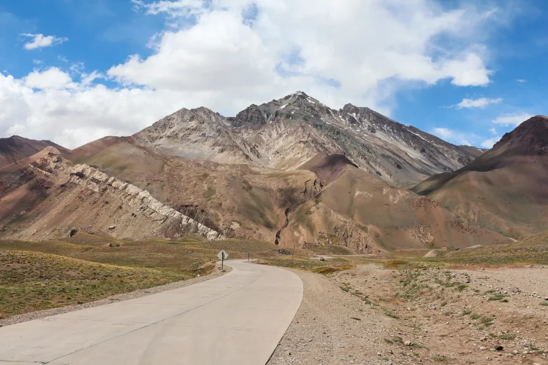
Aconcagua is the altitude-focused giant of Argentina’s Andes by Claudio Mota, Pexels.
More bookable experiences
Three tours to compare
Review current provider details before booking. Discover Andes may earn a commission at no extra cost to you.
Continue exploring
More practical guides selected from the Discover Andes library.

Best The Andes Photo Spots
Plan a photography-focused trip to El Chaltén, Argentina, with Laguna de los Tres, Laguna Capri, Laguna Torre, and…
The Andes Solo Travel Guide
Plan a rewarding solo trip through Argentina’s Andes by choosing the right region, timing mountain travel carefully, and…
The Andes Art and Culture Guide
Explore the art, living traditions, museums, historic streets, crafts and high-desert cultural landscapes of Argentina’s northwest, with practical…
The Andes New Year’s Eve Guide
Plan New Year's Eve in the Argentine Andes with practical advice on Mendoza, the Uco Valley, Bariloche, summer…